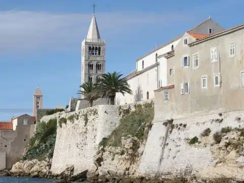
Northern Velebit in Pictures: 49 Free Photos of the National Park
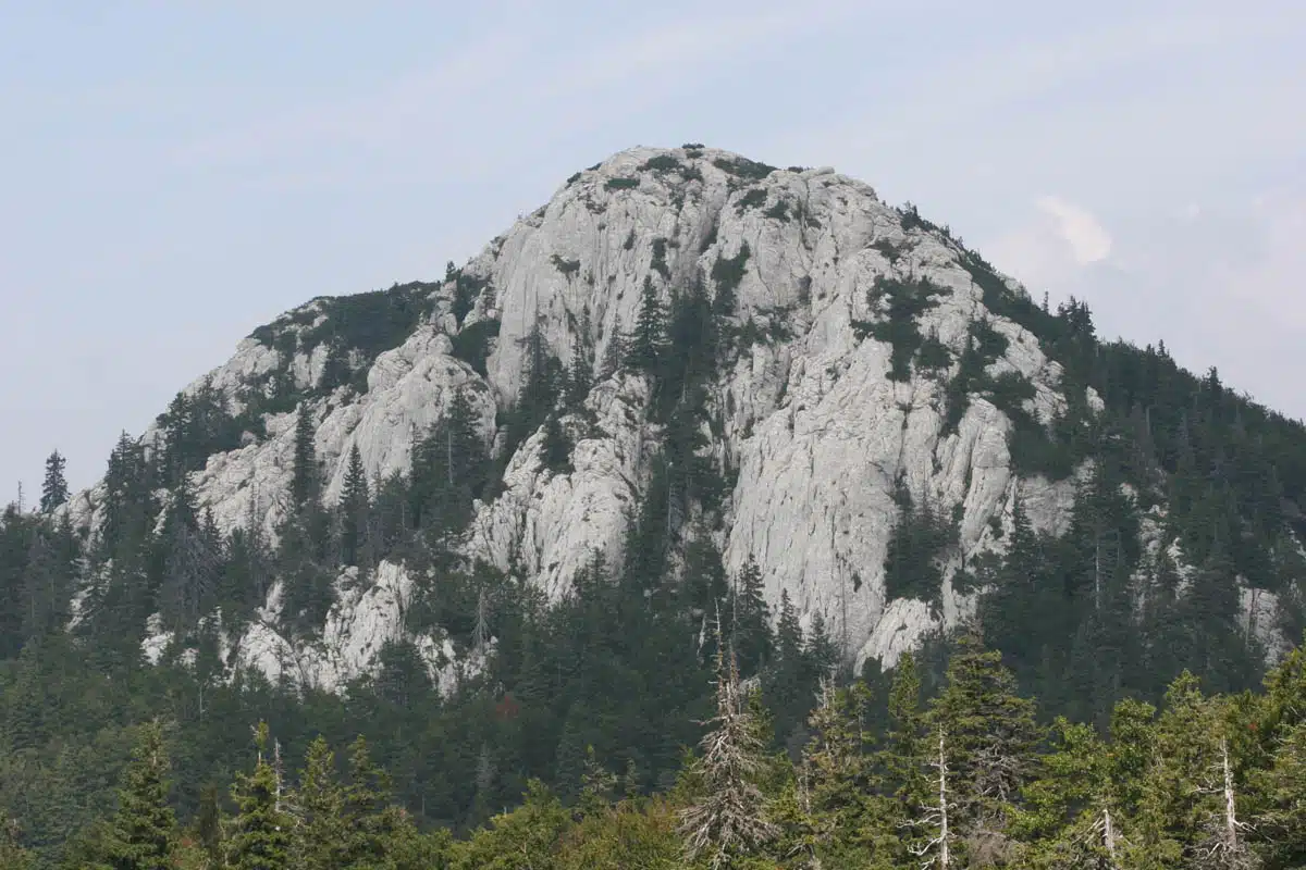
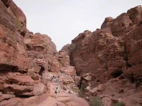
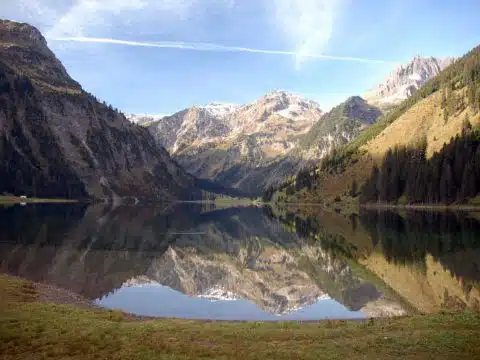
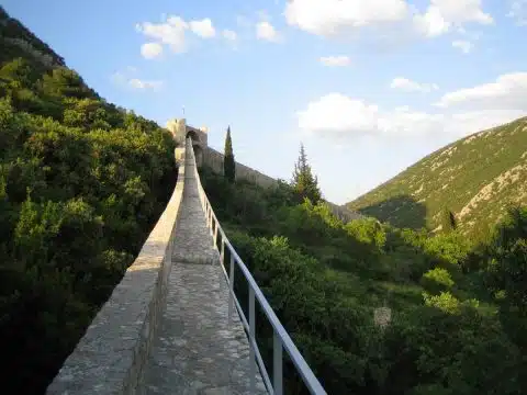
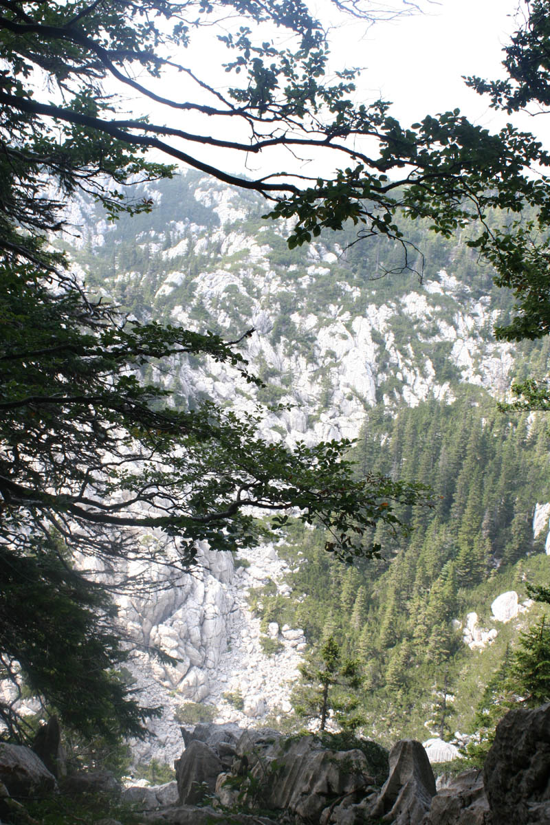
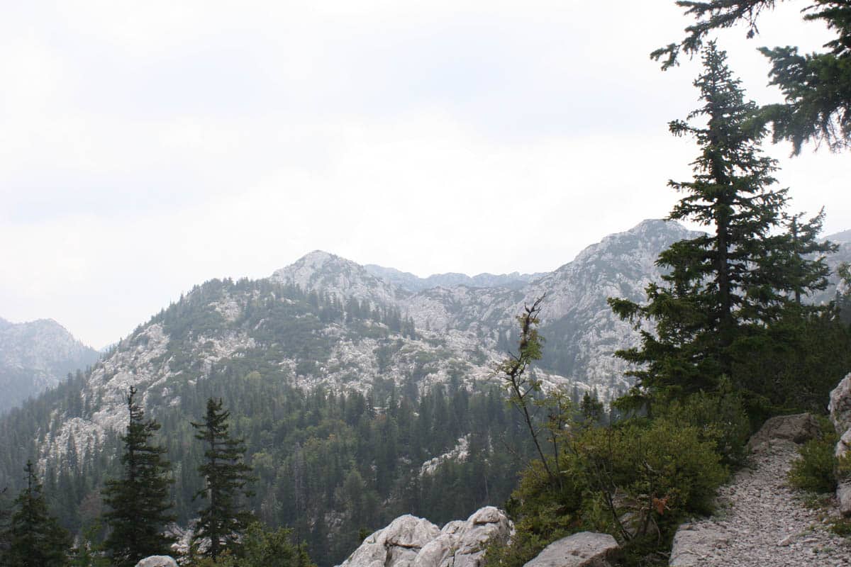
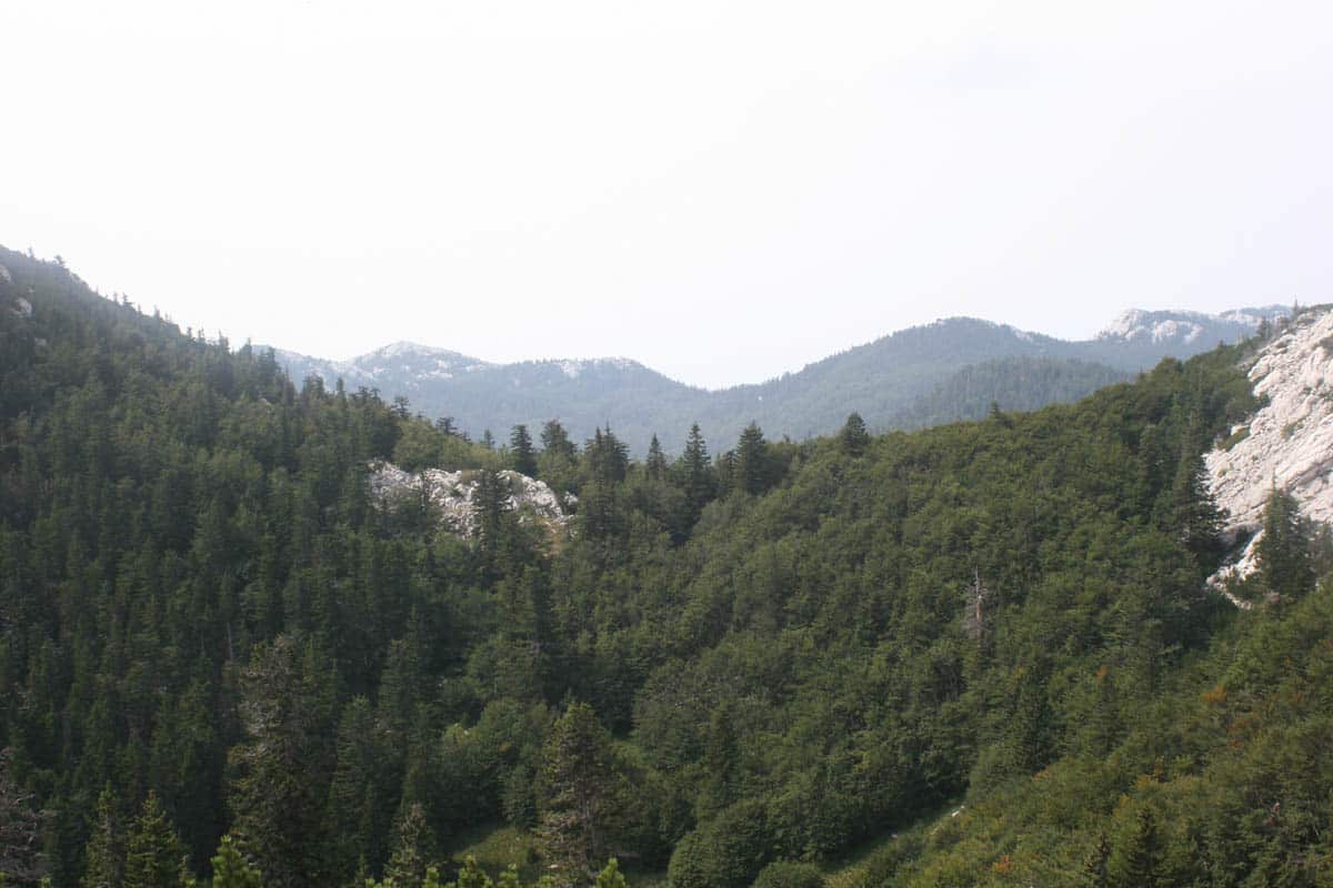
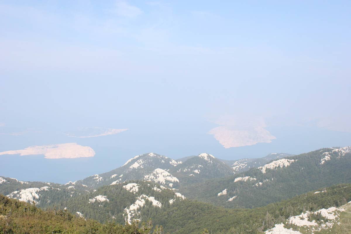
Northern Velebit in 49 free photos. Velebit is the longest mountain range in Croatia, running along the coast for 145 km; its northern part, a national park since 1999, is a world of white karst peaks, dark forests and wide views over the Kvarner islands.
How to download: click a photo to see it large, then use Download. The originals are about 1200 × 800 pixels: right for blog posts, slides, social media, school projects and video call backgrounds.
Karst peaks and the Premužić trail
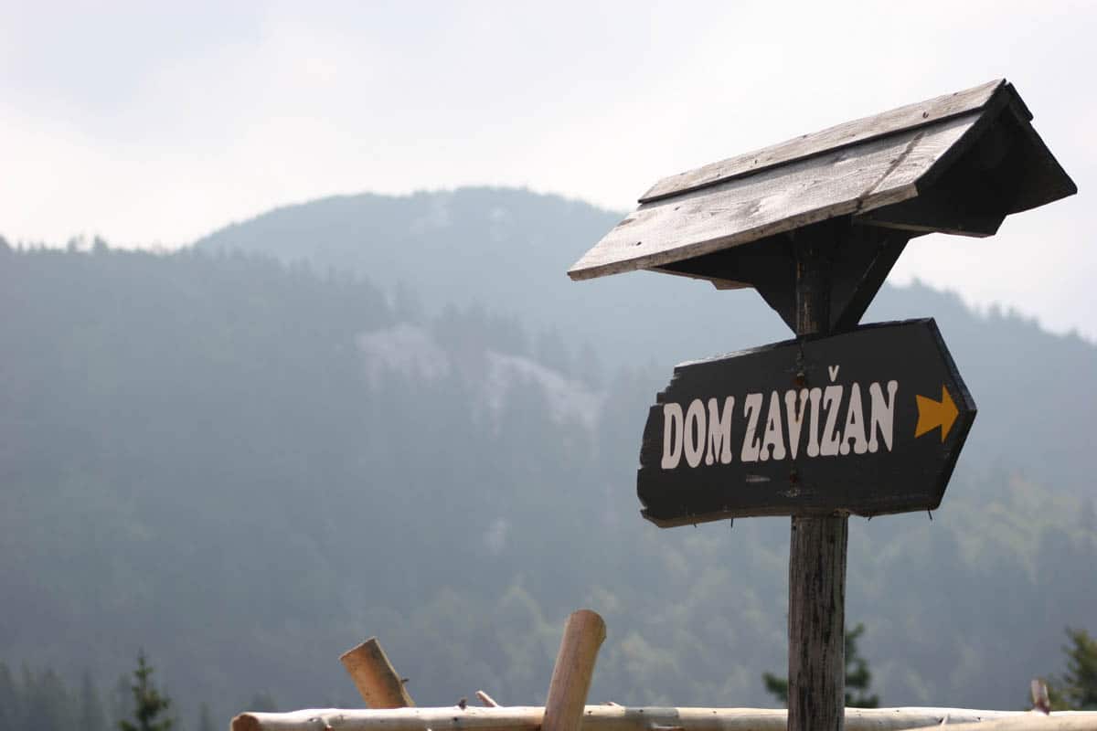
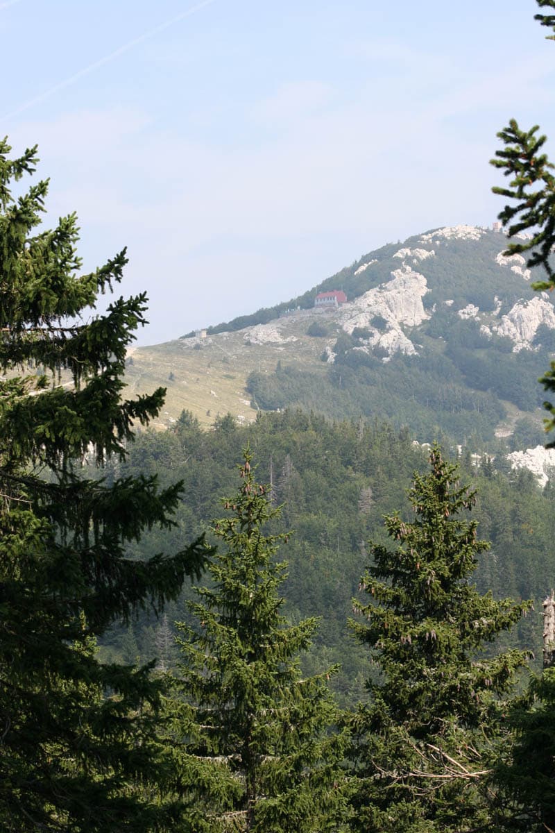
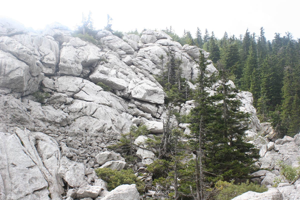
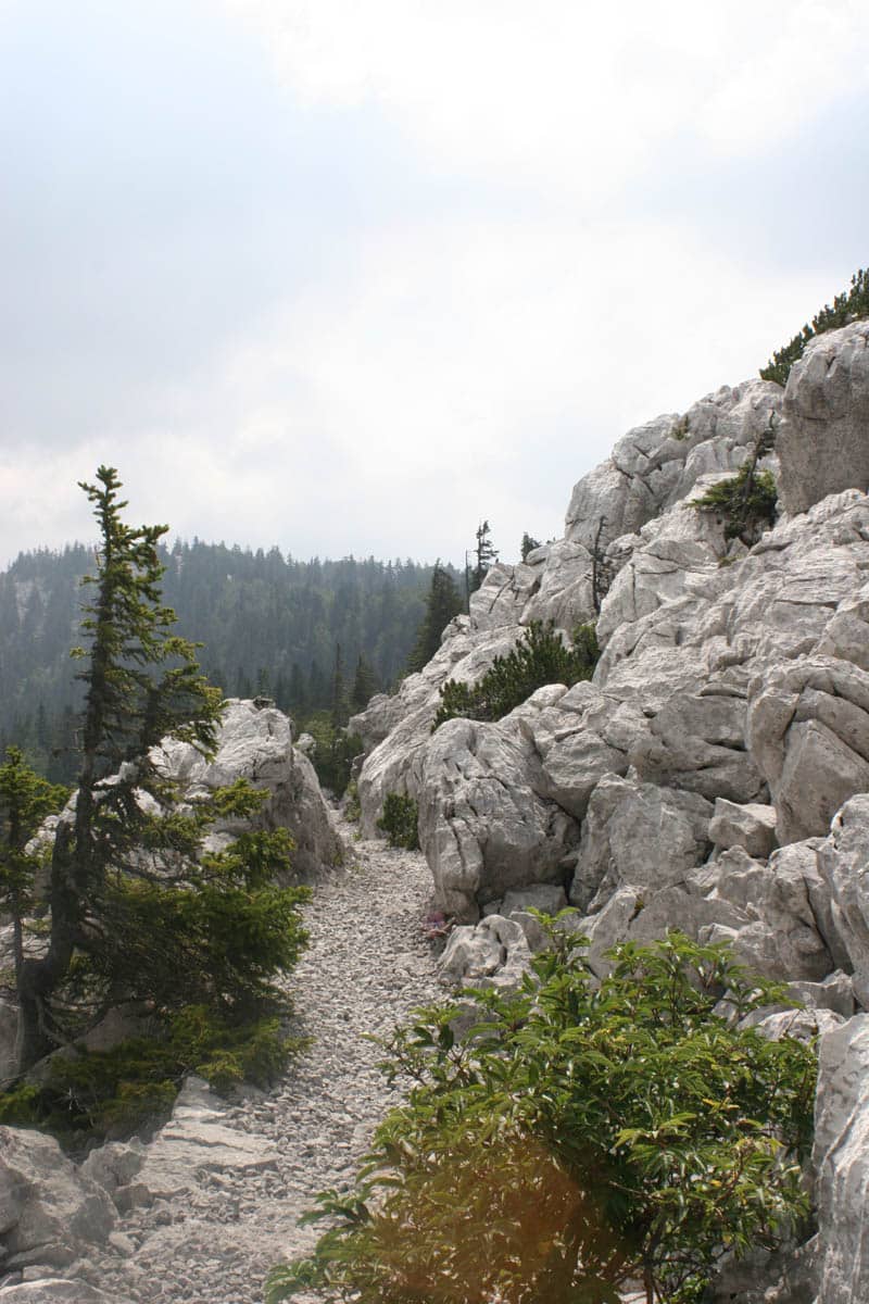
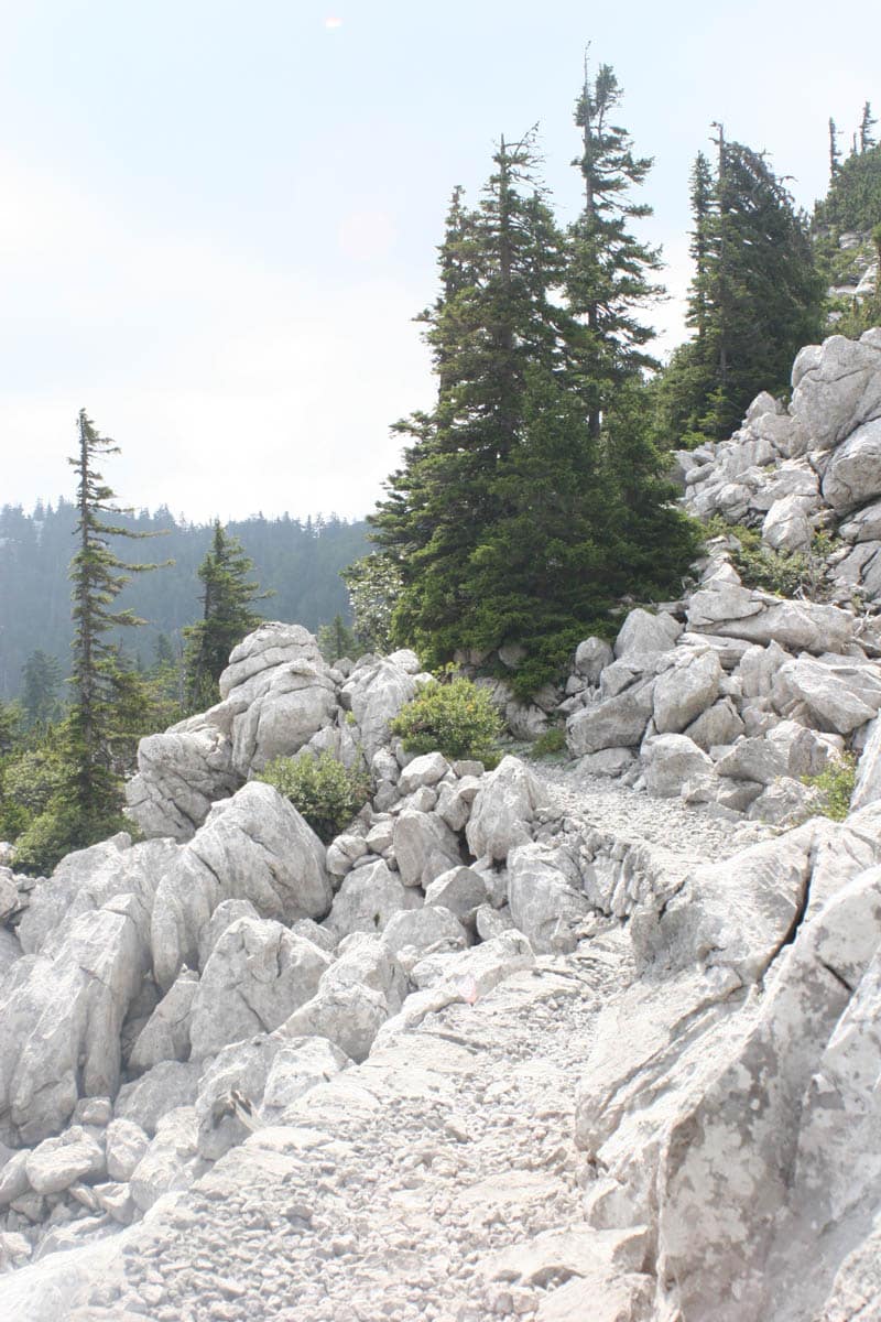
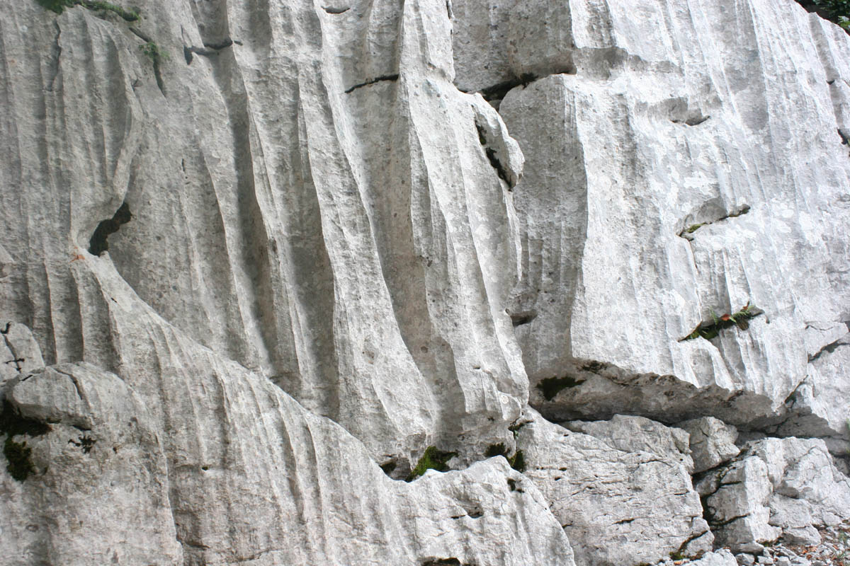
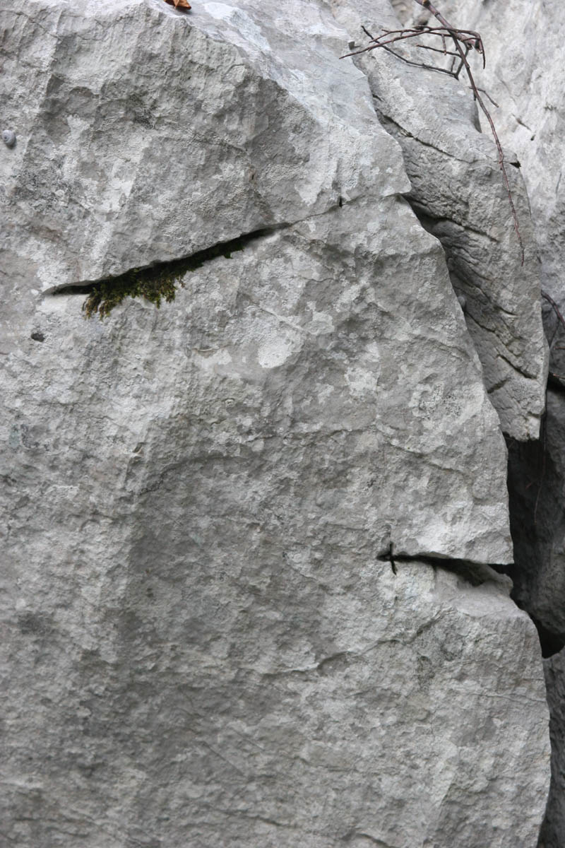
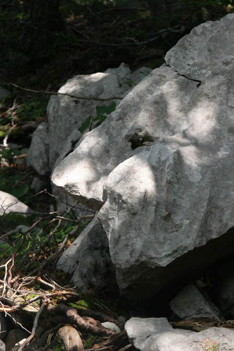
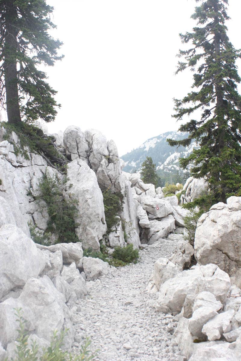
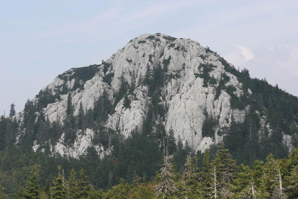
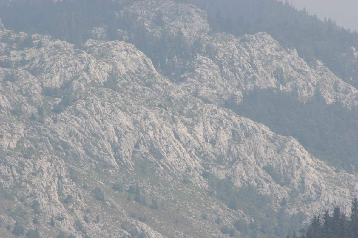
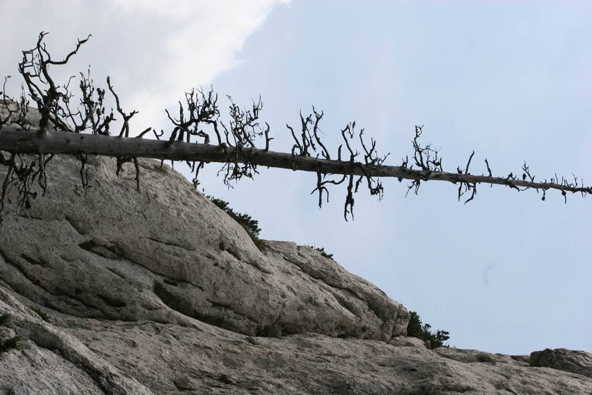
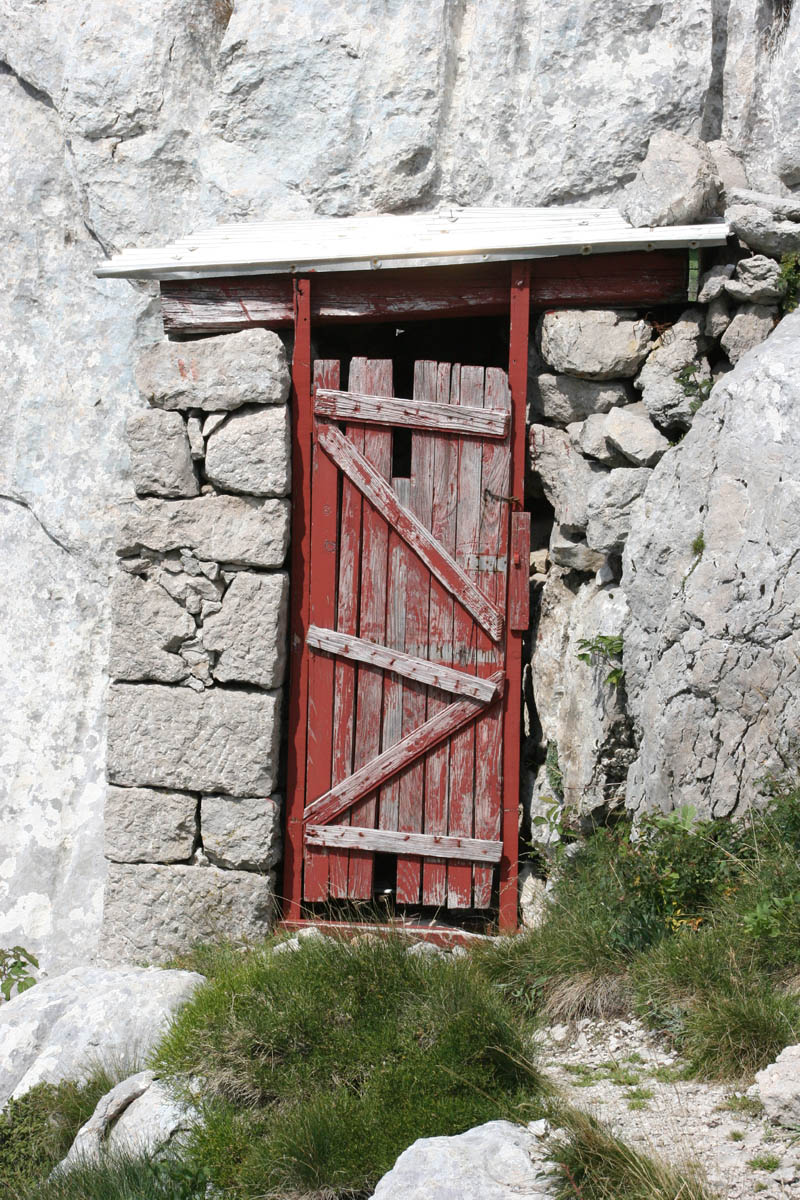
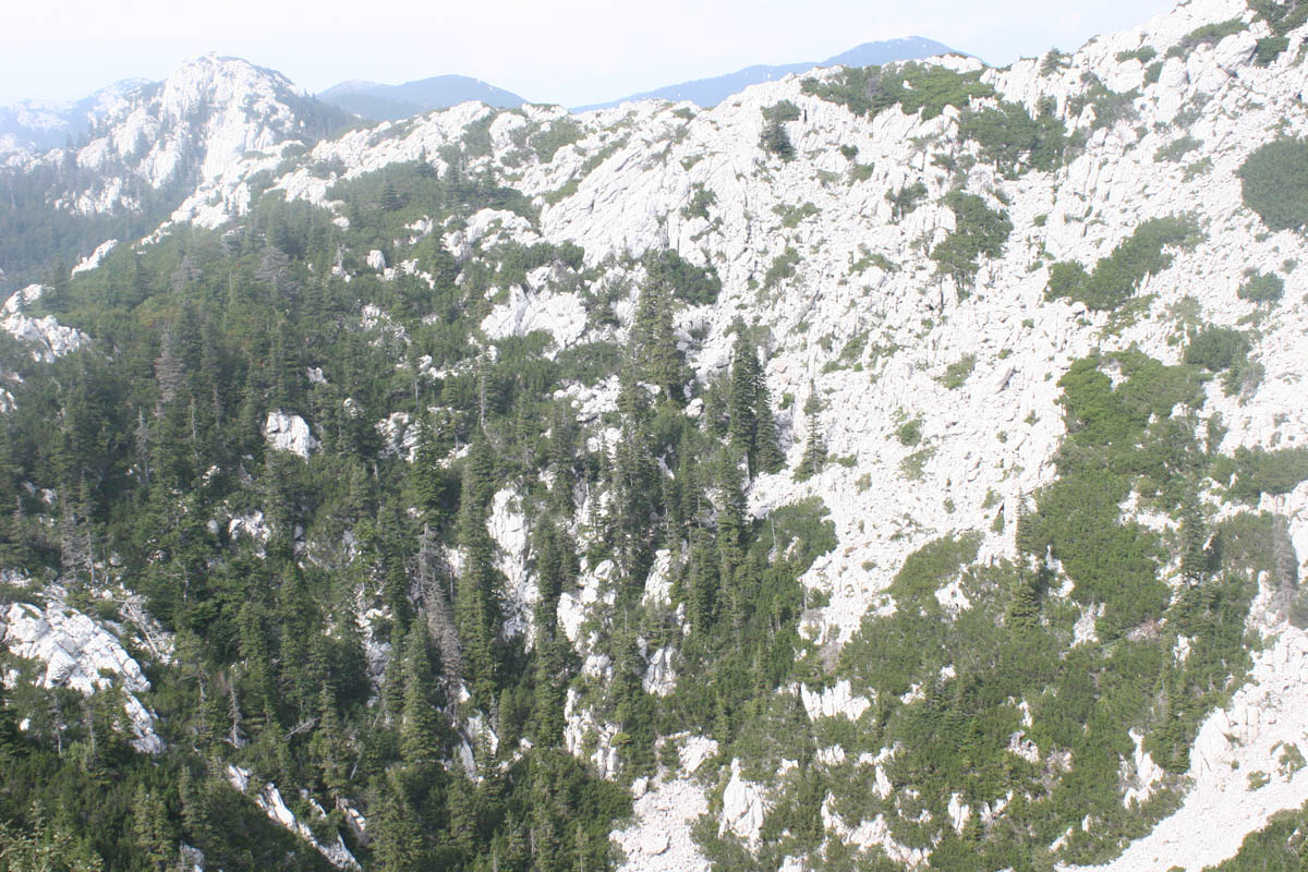
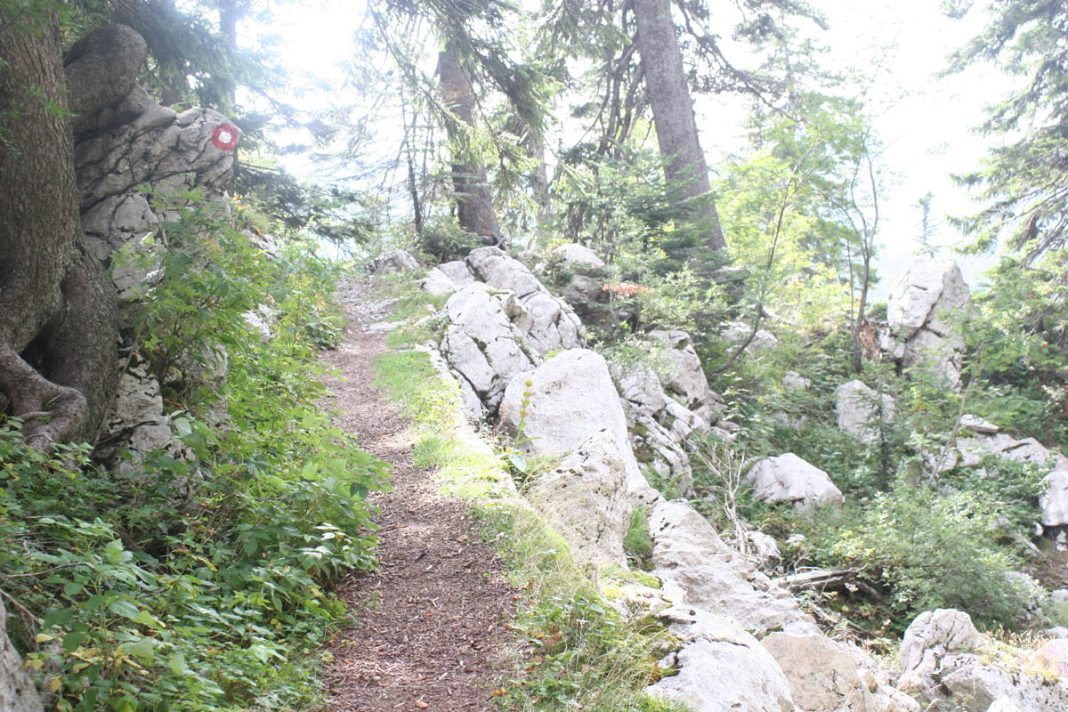
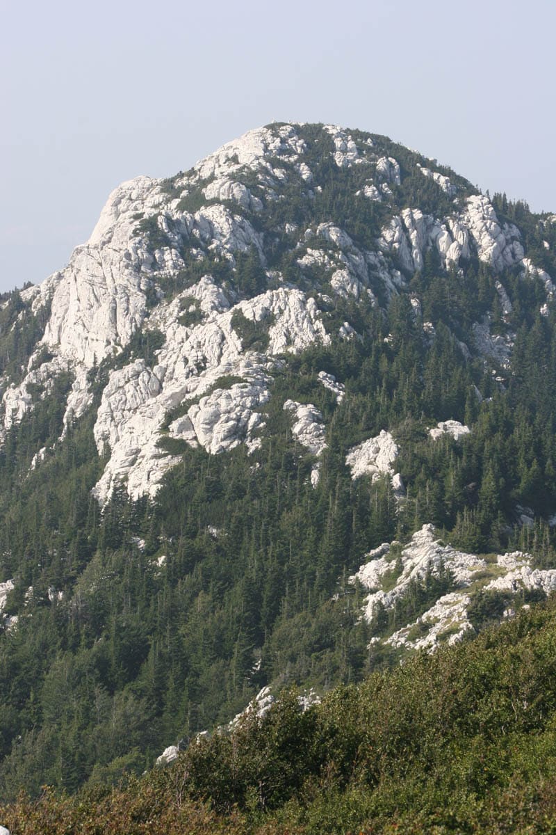
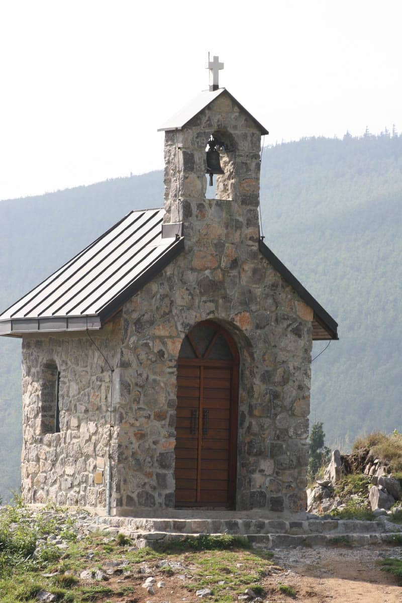
The Premužić trail, built in the 1930s, winds for 57 km along the ridge, gently enough for anyone, through the strange limestone towers of the Hajdučki and Rožanski kukovi. From Zavižan, with its mountain hut and Croatia’s highest weather station, you look down on Rab, Pag and Krk. Under the park lies Lukina jama, one of the deepest caves in the world.
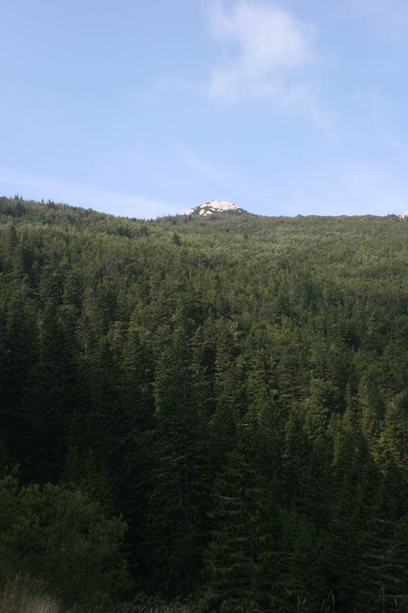
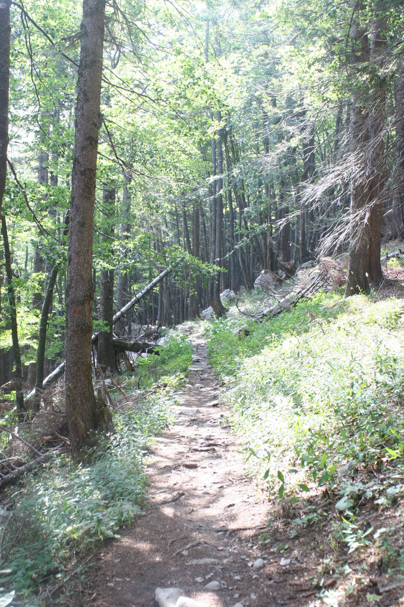
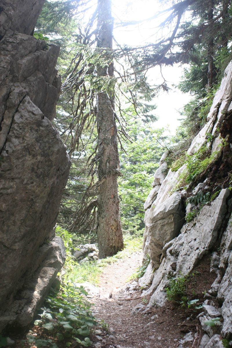
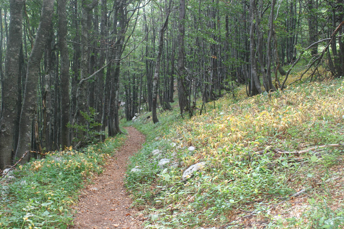
Forests, meadows and mountain flowers
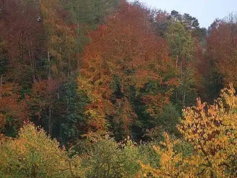
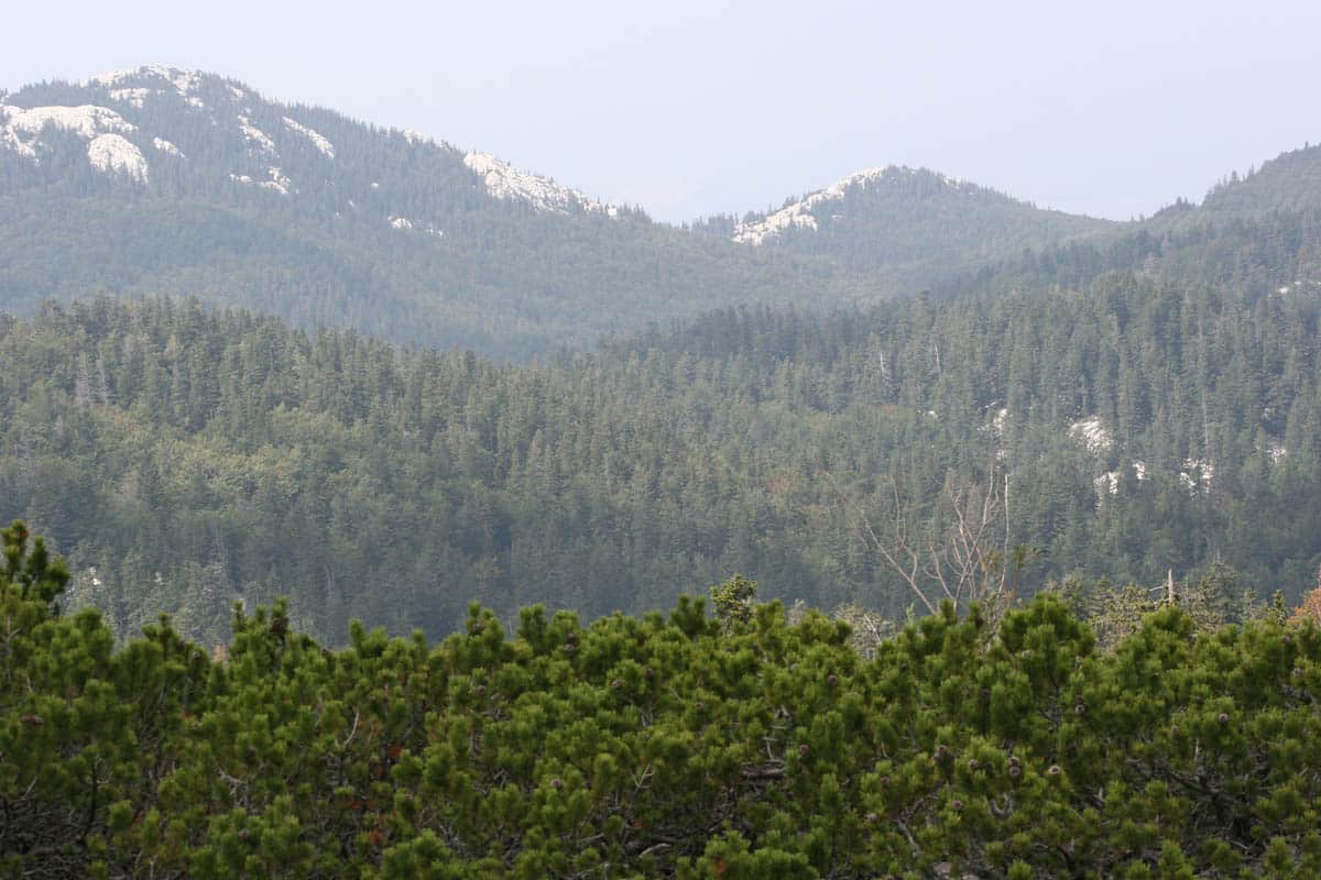
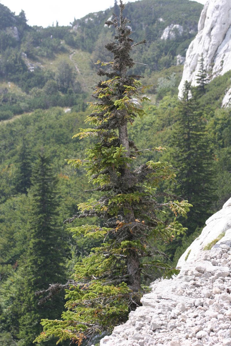
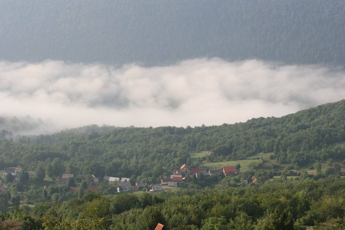
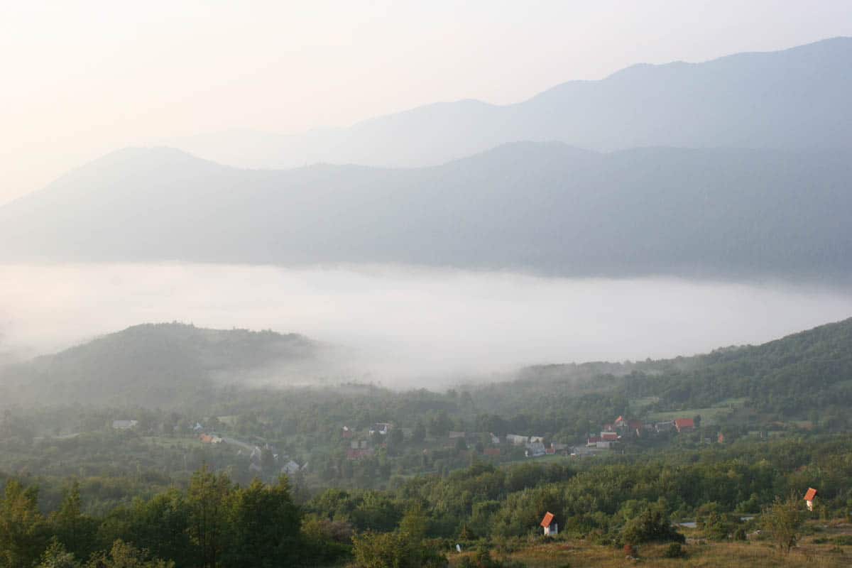
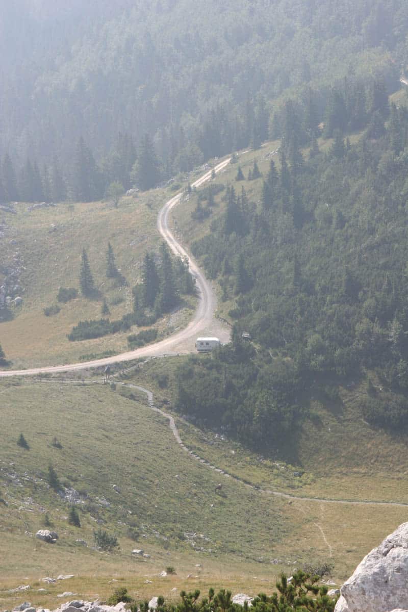
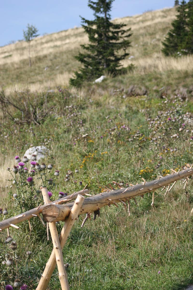
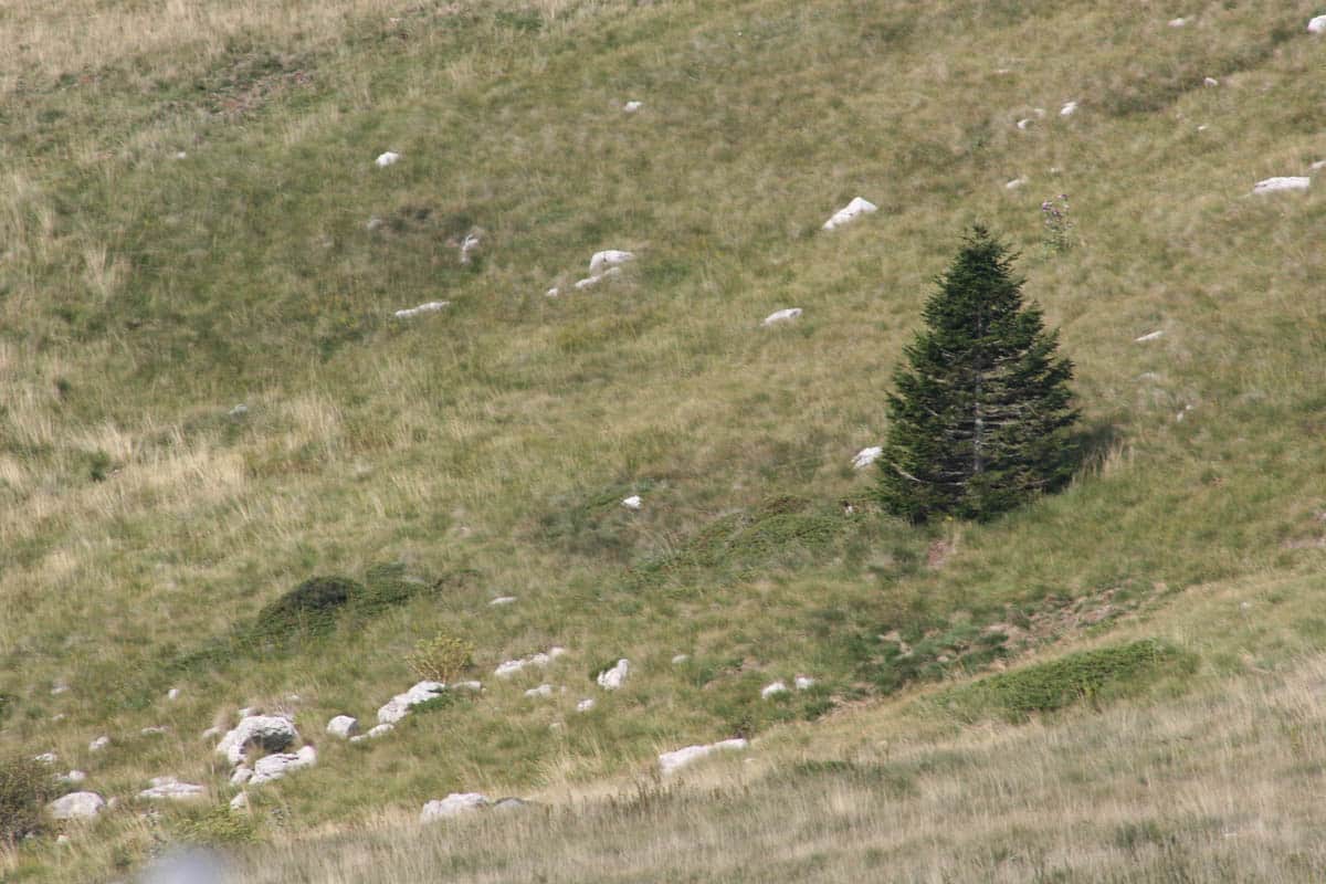
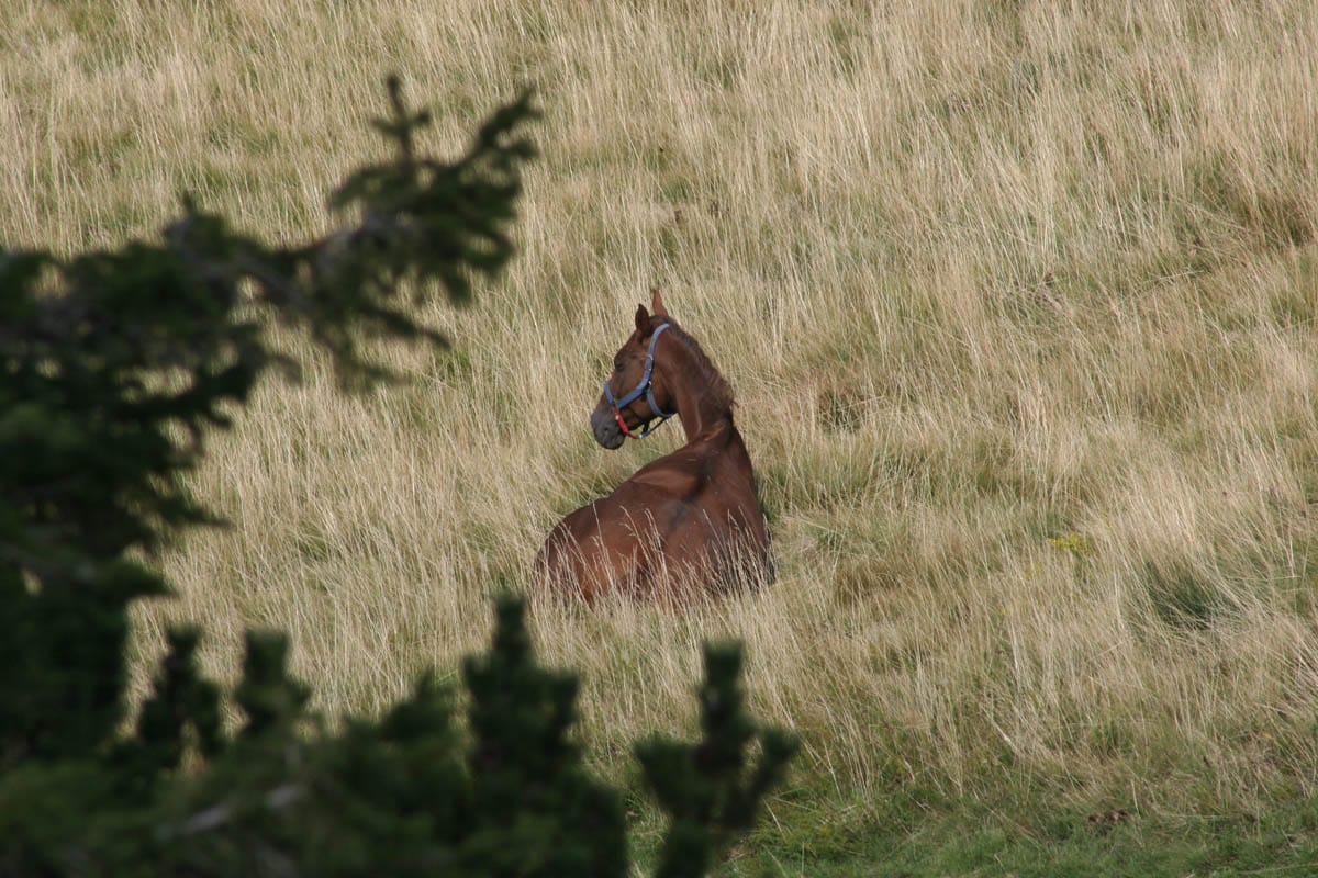
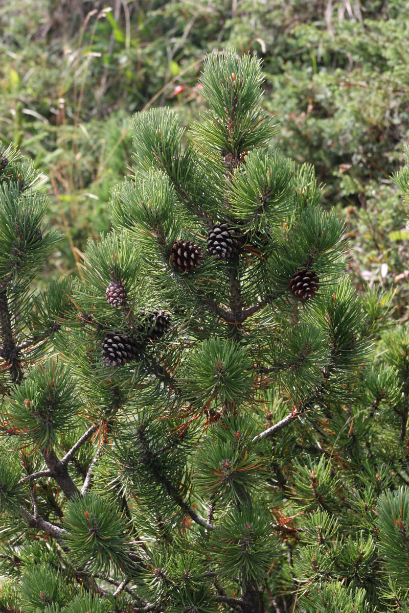
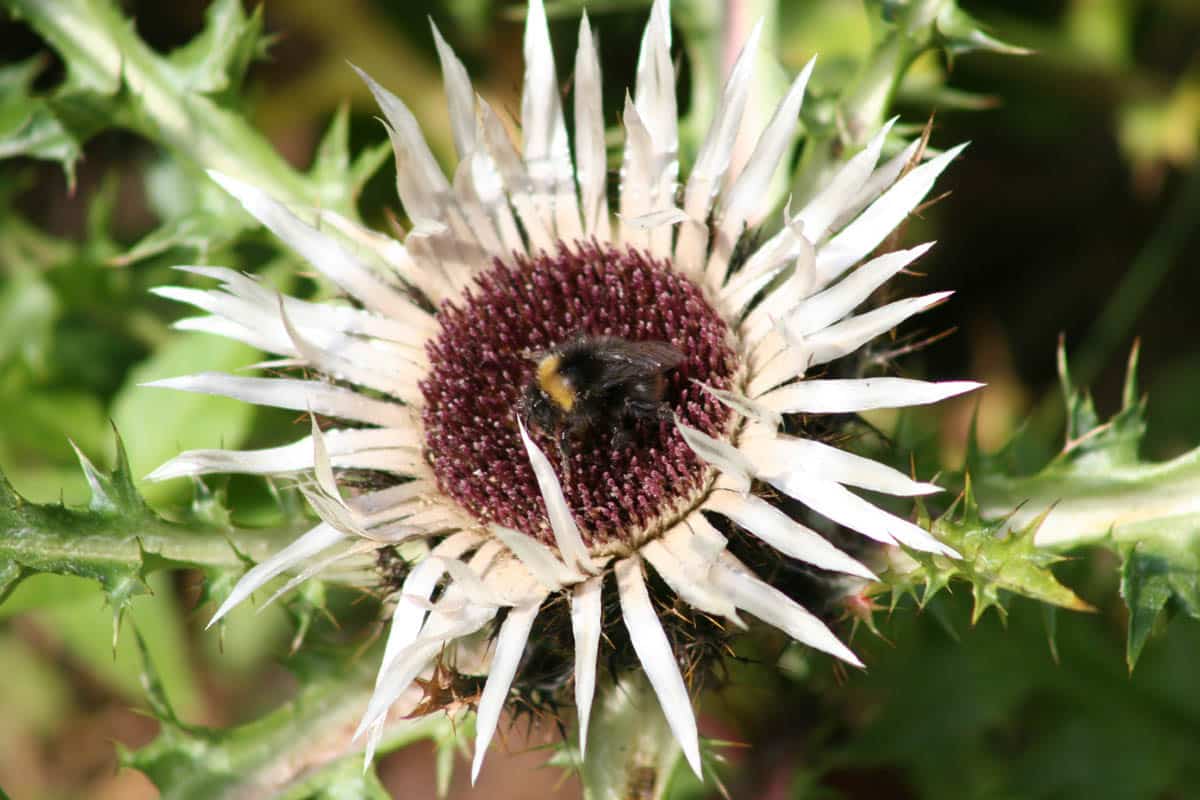
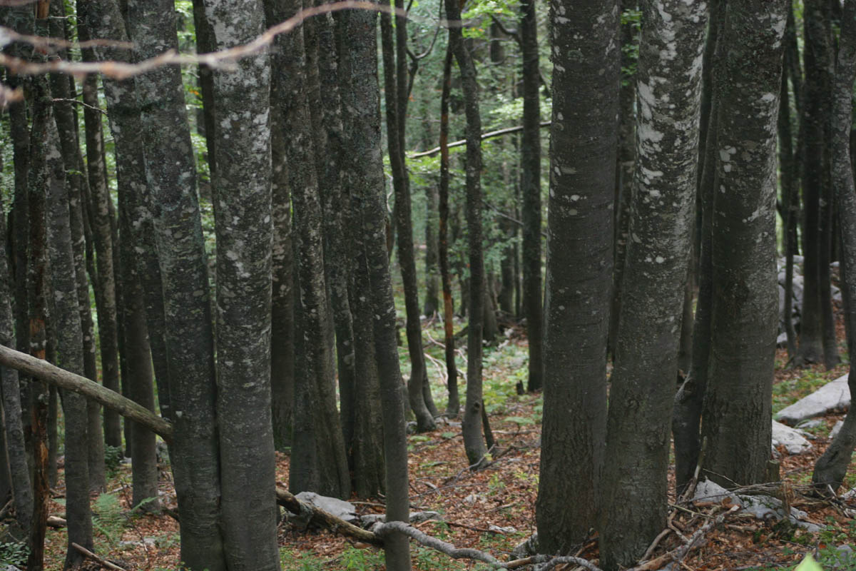
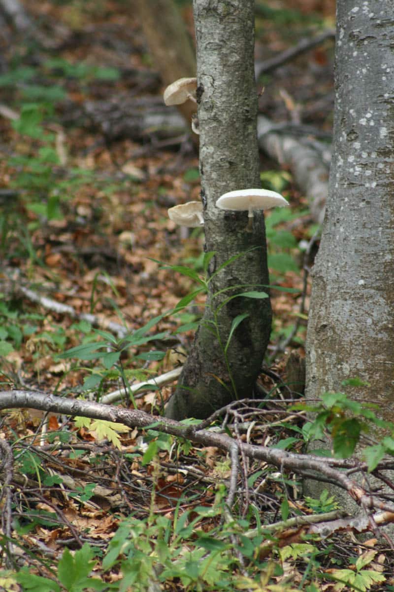
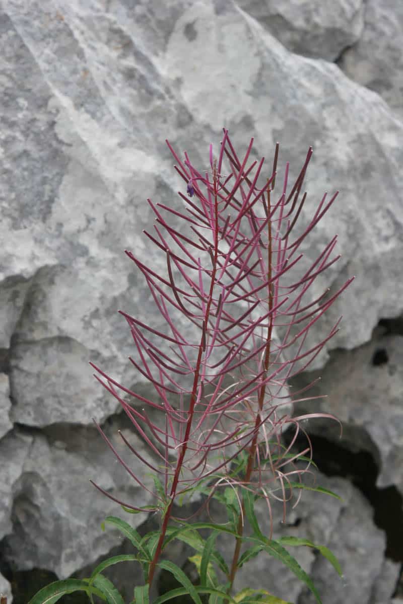
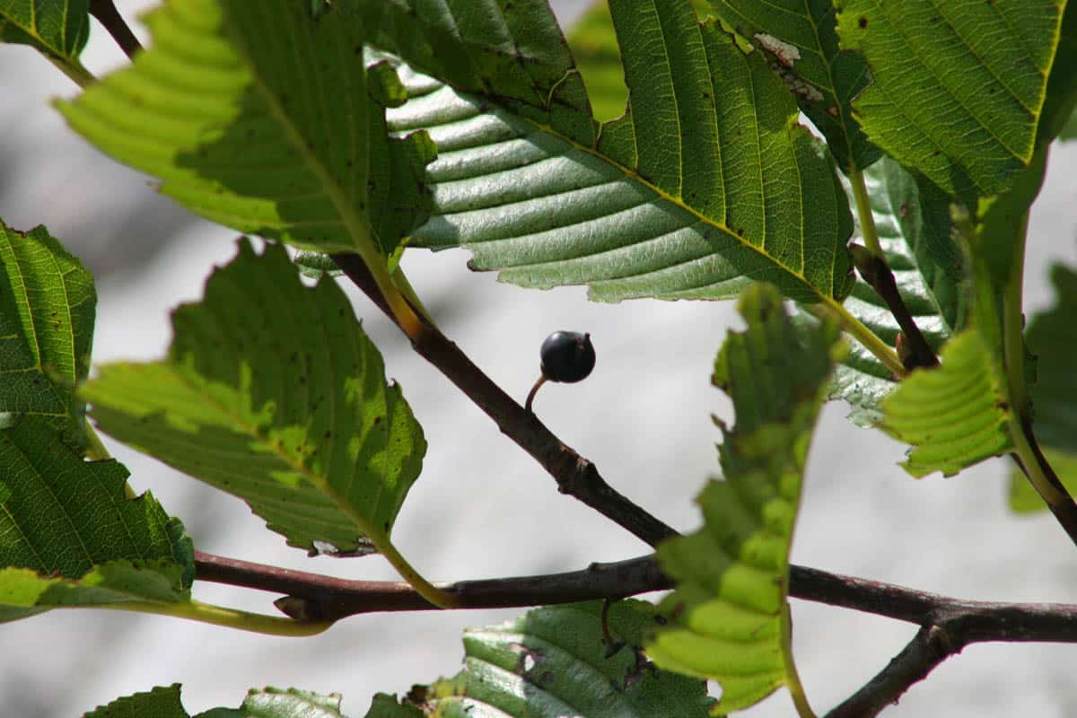
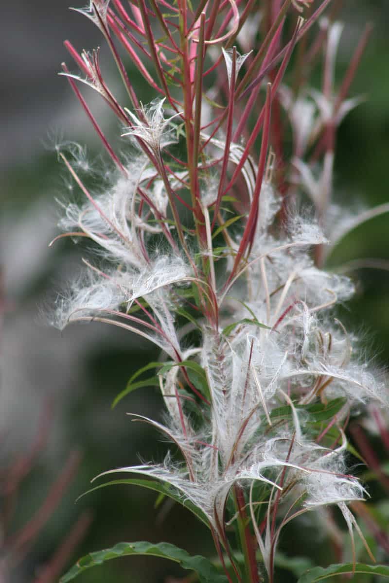
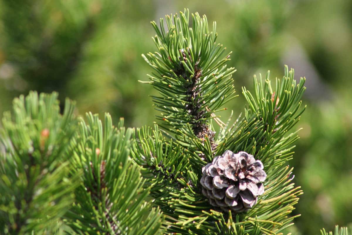
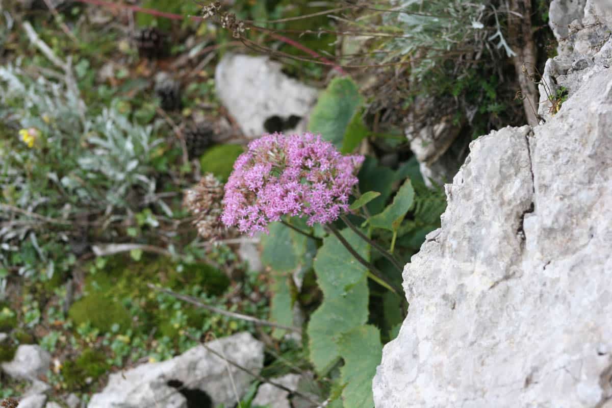
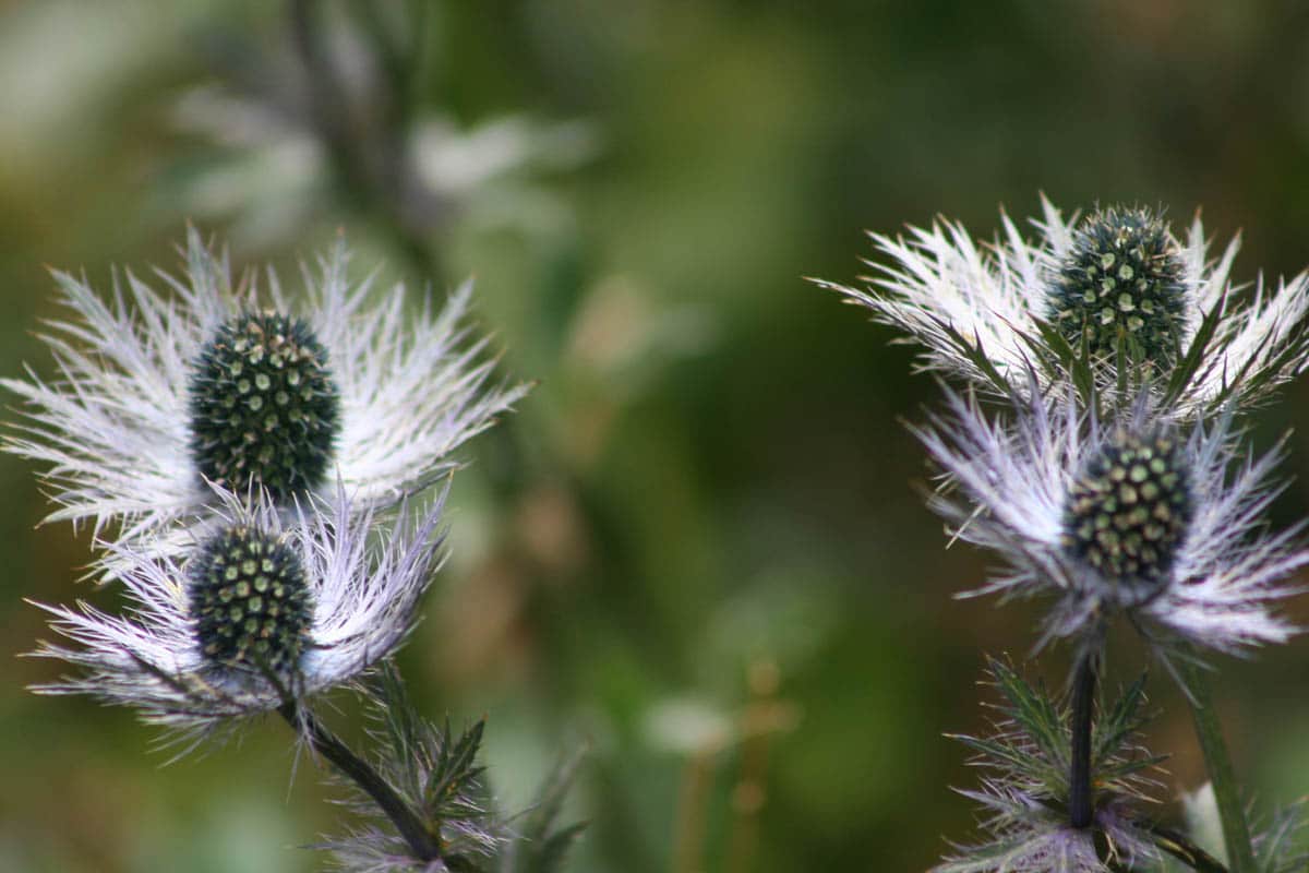
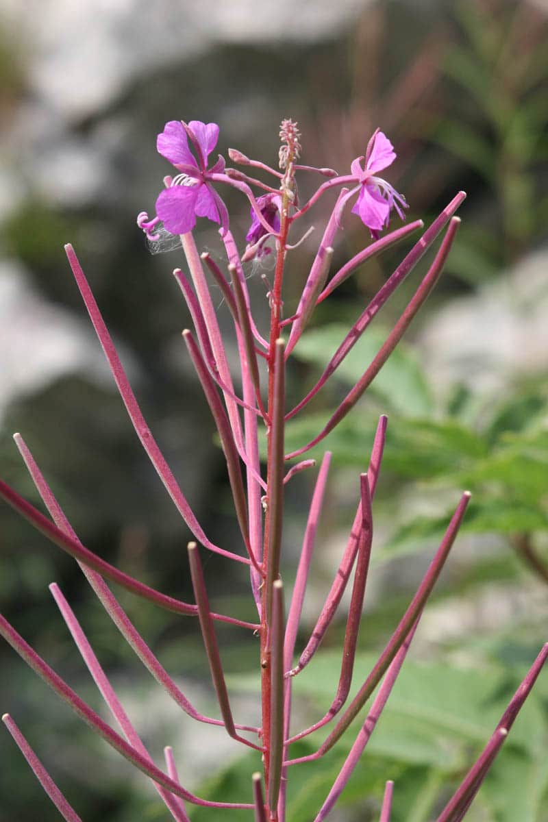
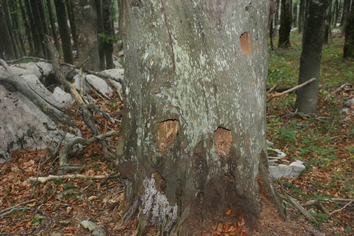
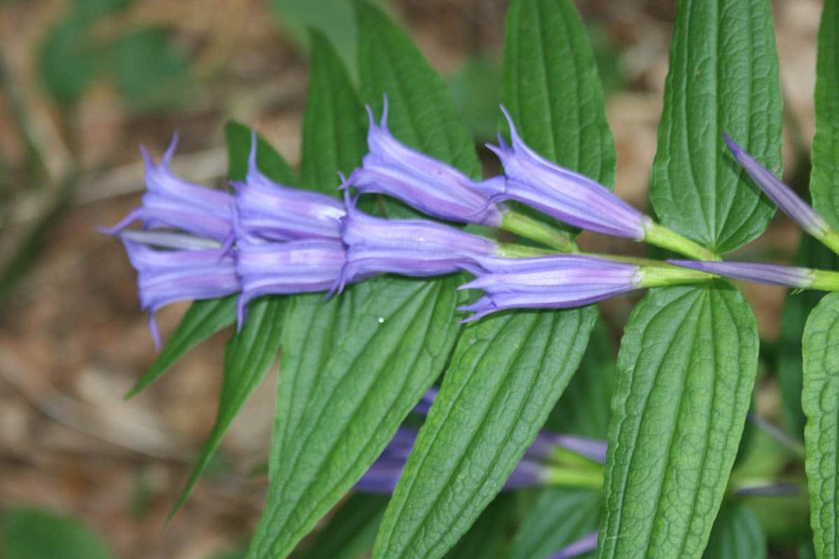
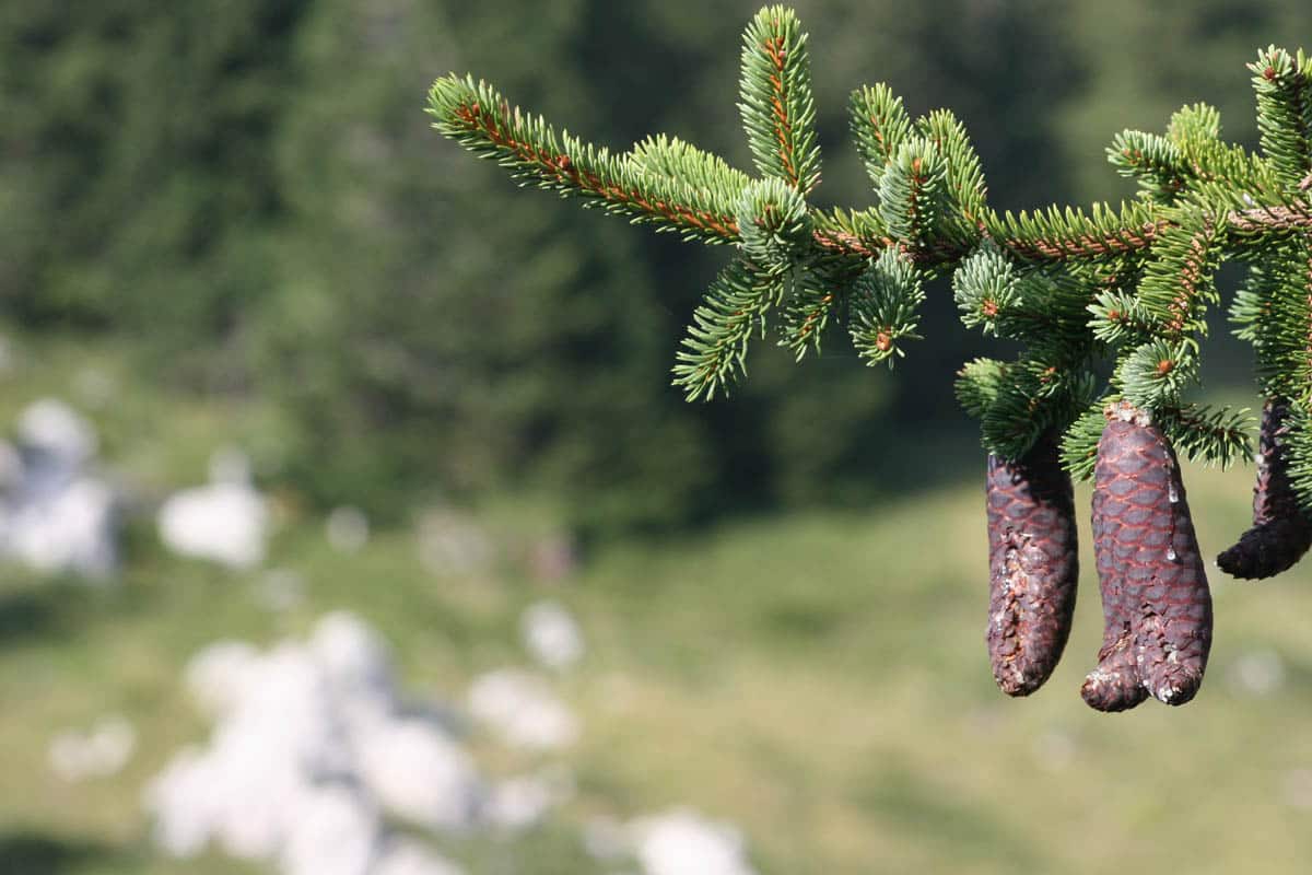
Beech and spruce forests cover the slopes, opening into high meadows where horses graze. In summer the clearings are full of flowers: gentians, carline thistles, fireweed and alpine pinks, many of them collected in the Velebit Botanical Garden near Zavižan.
More free photos
- Free mountain pictures
- Croatia pictures
- Zadar pictures
- Dubrovnik pictures
- Trogir pictures
- Korčula pictures
- Hvar pictures
Questions about these photos
Can I use these Velebit pictures for free?
Yes, for personal and commercial projects. All we ask is a link back to BigFoto.com; the box at the top of the page has a credit link you can copy.
How do you get to Northern Velebit National Park?
By car from Senj on the coast, up the road to Oltari and Zavižan, or from Krasno on the inland side; the park office is in Krasno. There is no public transport to Zavižan.